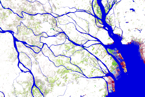
Global Surface Water
Performed detailed analysis of global surface water dynamics using Google Earth Engine. Leveraged satellite imagery to map water bodies, track changes, and analyze trends in water availability and distribution over time.

Weather App
A responsive weather app developed with HTML, CSS, and JavaScript, featuring real-time weather updates, a 5-day forecast, search functionality, dynamic weather icons, and API integration for accurate data.
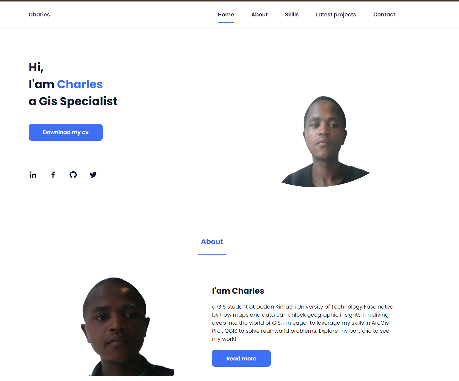
Personal Portfolio
A responsive HTML, CSS, and JavaScript webpage showcasing skills, projects, and interactive elements for enhanced user experience on all devices.

Network Analysis
Optimized routes and assessed connectivity using ArcGIS Pro. Enhanced urban planning and infrastructure decisions through spatial relationship modeling and comprehensive network analysis tools.
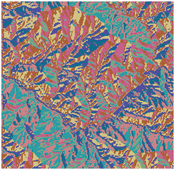
Hydrological Analysis
Conducted hydrological analysis using ArcGIS Pro to model water flow, identify watersheds, and analyze flood risks. Utilized Digital Elevation Models (DEMs) for accurate terrain and water resource assessments.
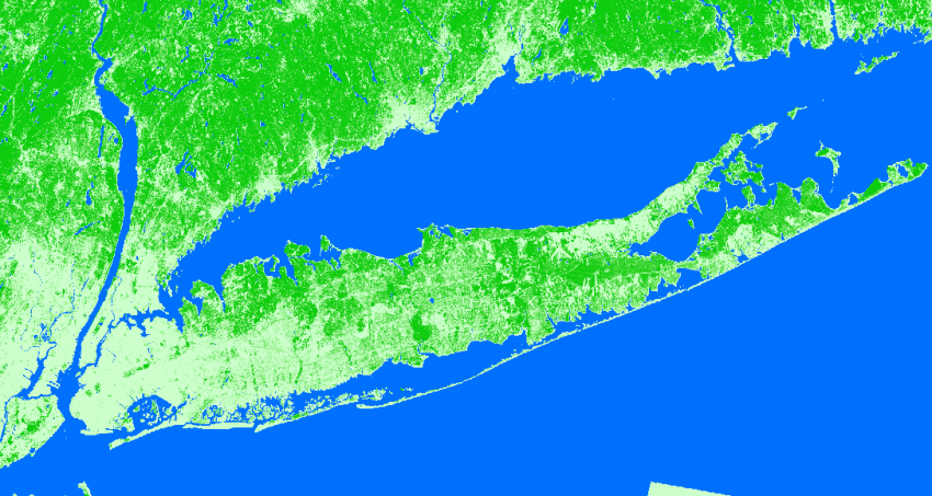
Land Use Landcover
Conducted comprehensive mapping of Land Use and Land Cover (LULC) using Google Earth Engine. Integrated satellite imagery and machine learning algorithms for accurate classification and spatial analysis, supporting environmental and urban planning studies.
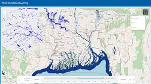
Flood Mapping
A flood mapping project using Google Earth Engine (GEE) to analyze and visualize flood-affected areas. It leverages satellite imagery and advanced algorithms for accurate, real-time flood detection and monitoring.